

Release Date :
Reference Number :
PR-2025-04ANT-017
CALUYA, Antique—The Philippine Statistics Authority (PSA) – Antique Provincial Statistical Office concludes the data collection phase of the 2024 Census of Population and Community-Based Monitoring System (POPCEN-CBMS) Geotagging of Service Facilities and Government Projects (SFGP) in the island Municipality of Caluya.
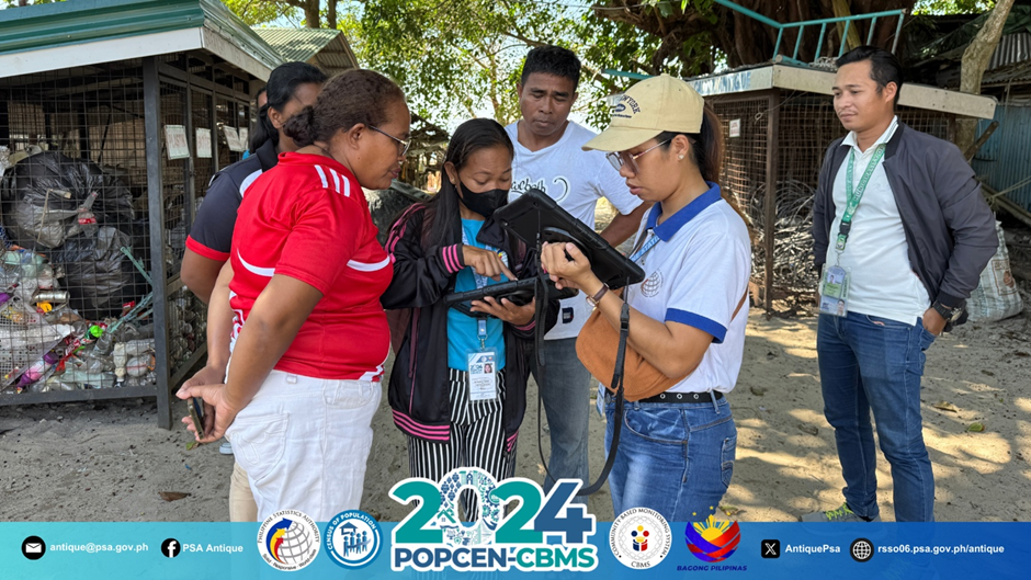
Map Data Collectors validates geotagged points with barangay officials of Barangay Imba, Caluya.
In collaboration with the Caluya Municipal Planning and Development Office (MPDO) personnel, PSA Antique conducted a six-day geotagging of SFGP including the listing of Building Construction (LoBC) from April 7 to 12, 2025. During this activity, all eighteen barangays within the island municipality were systematically geotagged.
Throughout the field operations, five islands were visited to gather pertinent information regarding the service facilities available and government projects implemented in each barangay.
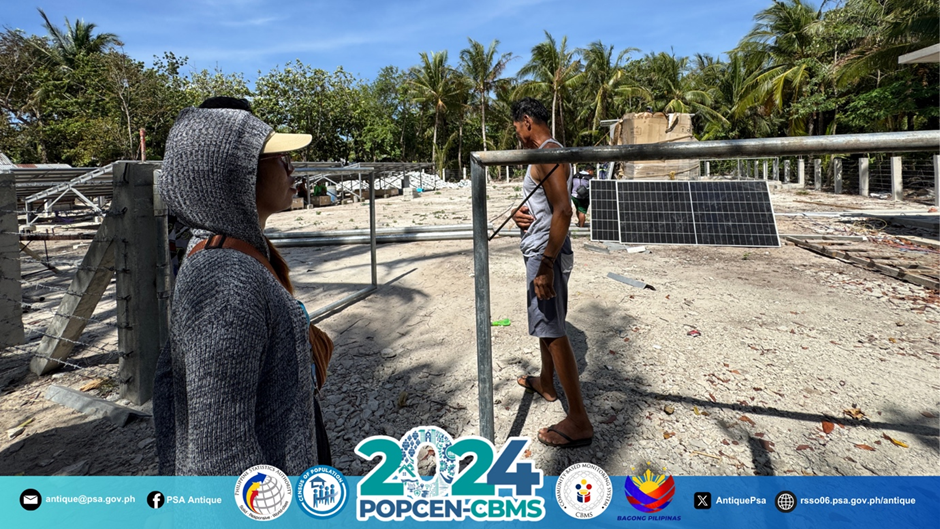
PSA personnel inspects an ongoing installation of Photovoltaic Solar Panels to augment energization efforts of the LGU in the island barangay of Sibolo.
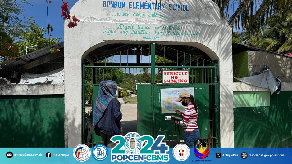
James V. Cadungon, Team Supervisor and Ma. Flordenet Z. Operiano, Map Data Collector, geotags Bonbon Elementary School in Barangay Bonbon, Caluya.
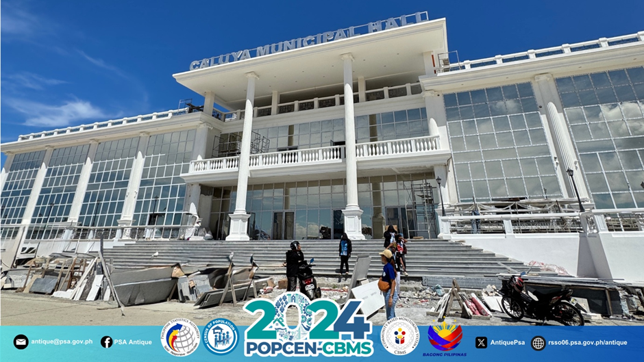
PSA Antique, together with the MPDO personnel of the MLGU, geotags the ongoing construction of the new Caluya Municipal Hall in Barangay Poblacion.
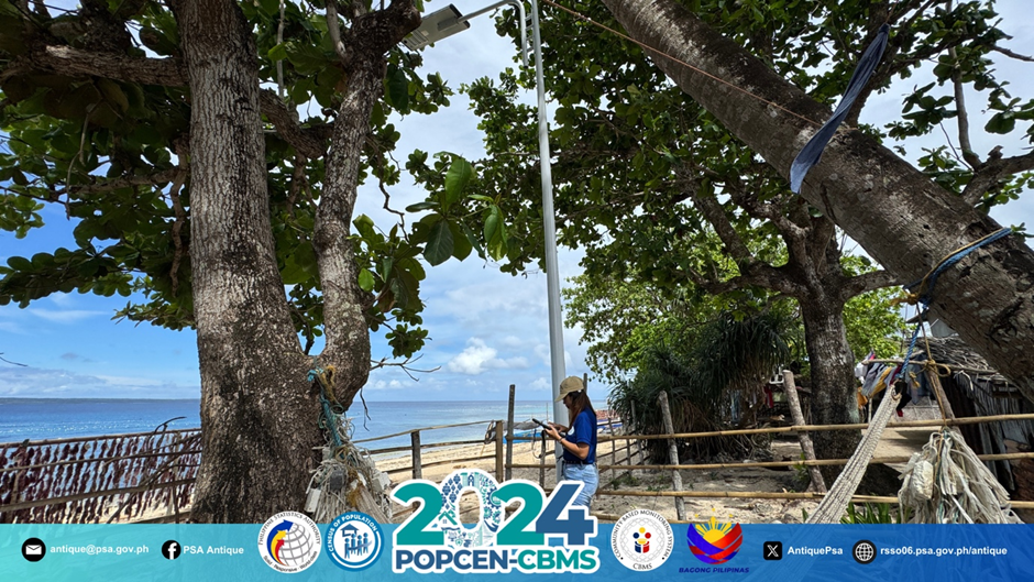
One of the prominent government projects in the whole municipality of Caluya is the installation of Beach Lights aimed at assisting local fisherfolks during fishing activities at night.
The activity involves the systematic collection and processing of timely and pertinent spatial (location) and non-spatial (e.g., name, structure type, construction date, etc.) data regarding service facilities and government projects within the municipality.
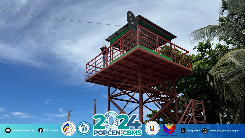
Dane D. Francisco, Map Data Collector, geotags the Watch Tower in Barangay Sabang, a government project implemented by the LGU in collaboration with the Department of Agriculture – Bureau of Fisheries and Aquatic Resources (BFAR).
The collected data will undergo processing, resulting in valuable resources for the generation of thematic and poverty maps. This will facilitate effective planning, program implementation, and the formulation of programs to monitor their impact on economic development and poverty alleviation.
All 590 barangays within the Province of Antique have undergone geotagging activity. Together with other pertinent CBMS data files, the SFGP data will be turned over to the Municipal Local Government Units from July to August 2025.