

Release Date :
Reference Number :
PR-2025-02ANT-007
SAN JOSE, Antique—The Philippine Statistics Authority (PSA) conducts the Provincial Level Training (PLT) for the 2024 Census of Population and Community-Based Monitoring System (POPCEN-CBMS) Geotagging of Service Facilities and Government Projects (SFGP) from 24 to 27 February 2025.
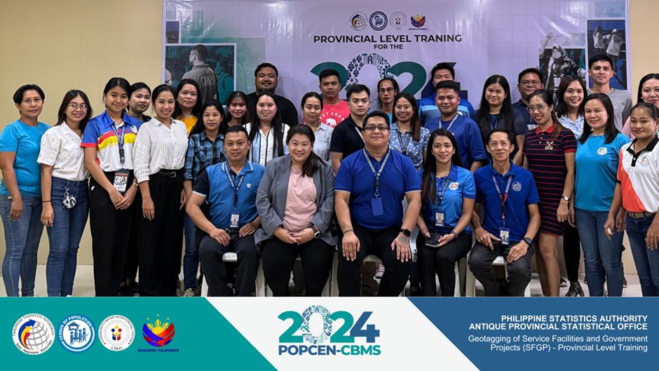
PSA Antique personnel and Ma. Goretti M. Novilla, Regional CBMS Focal Person, together with the training participants during the 2024 POPCEN-CBMS Geotagging of SFGP – PLT.
The PLT served as an opportunity for the hired Team Supervisors, Map Data Collectors, Map Data Processors, and Map Data Reviewers to become acquainted with the governing concepts, definitions, and processes of the operations.
Dr. Randy M. Tacogdoy, Chief Statistical Specialist of PSA Antique, underscored the significance of the CBMS, emphasizing its role as an organized technology-based system for the systematic collection, processing, and validation of essential disaggregated data. This data will subsequently be utilized for planning, program implementation, and impact monitoring at the local level, while simultaneously empowering communities to actively participate in the process.
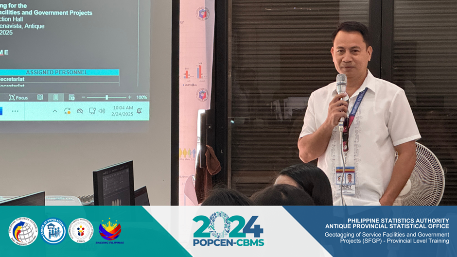
Dr. Randy M. Tacogdoy, Chief Statistical Specialist of PSA Antique, shares his inputs and encourages the training participants to properly accomplish the tasks in an efficient and effective manner.
A notable highlight of the training was the Map Generation session. Participants underwent a structured process to create QField Projects and subsequently reviewed the generated projects using QGIS. QGIS, a free and open-source GIS software application, enables users to visualize, create, modify, and analyze geospatial data. For the POPCEN-CBMS Geotagging of SFGP, QGIS will be employed for data processing, review, and consolidation of shapefiles.
Following the completion of map generation, participants received instructions on navigating the QField application. This application, an open-source tool, facilitates the collection, geotagging, and digitization of ground-based information and features. In the POPCEN-CBMS Geotagging of SFGP, QField will be utilized by Map Data Collectors for geotagging service facilities and government projects.
Furthermore, training participants experienced the practical aspects of the geotagging operations of the expected workflow on-site. The on-site testing was conducted in Barangay 2, San Jose de Buenavista, Antique, with the assistance of Punong Barangay, Nestor Angel O. Salazar IV.
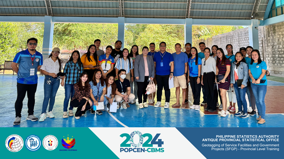
PSA Antique personnel with Hon. Nestor Angel O. Salazar IV, Punong Barangay of Barangay 2, San Jose de Buenavista, Antique, during the on-site testing and field practice of the training participants
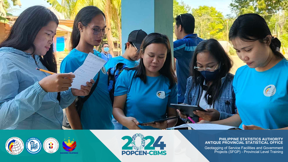
Hon. Salazar and Hon. Ace Jand M. Sarmiento, Barangay Kagawad, guided the training participants in locating service facilities, government projects, and ongoing building constructions near the barangay hall. Subsequently, the results of the field activity were discussed at the training venue, where pertinent findings were highlighted.
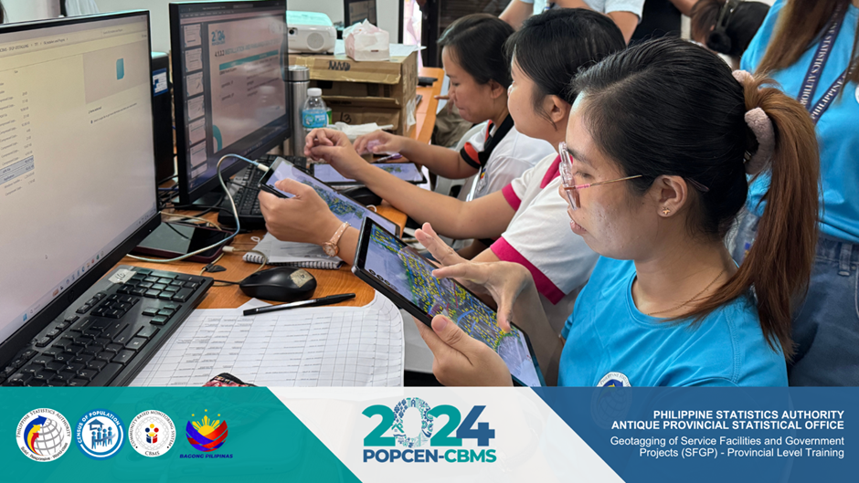
Training participants navigate the QField application to familiarize the field geotagging procedures specifically on how to locate service facilities and government projects
Geotagging is a fundamental component of CBMS operations. It facilitates the capture and timely collection of pertinent information regarding service facilities, government projects, and natural resources at the local level.
The 2024 POPCEN-CBMS Geotagging of SFGP also includes the Listing of Building Construction (LoBC) and is scheduled to proceed on 03 March 2025 until 12 April 2025.